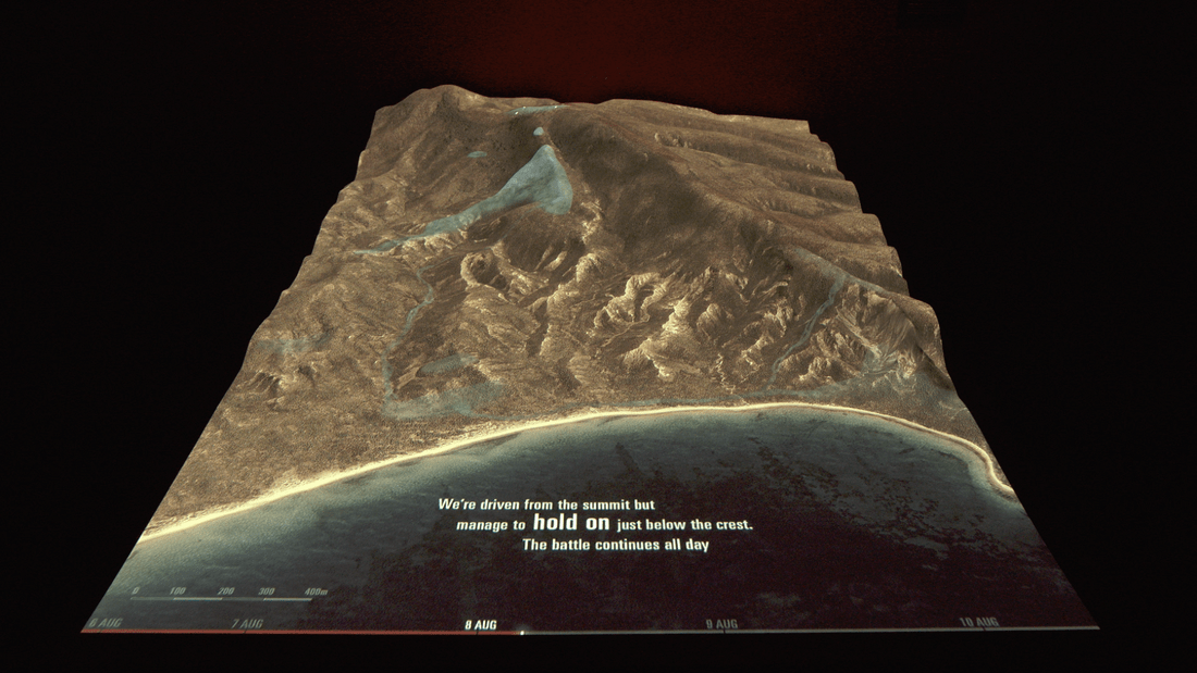
Our brief from Te Papa and Richard Taylor was to create a projection map of two scenes from Gallipoli. They wanted realistic maps of the battlefields that showed animated sequences of what happened at Anzac Cove on April 25th 1915, and on Chunuk Bair in August 1915.
From a storytelling perspective we already knew the ground well from our work on the Ngā Tapuwae trails, but we worked closely with historian Christopher Pugsley to map the precise movements of Anzacs and Turks, and also with Te Papa and Weta Workshop for content and direction.
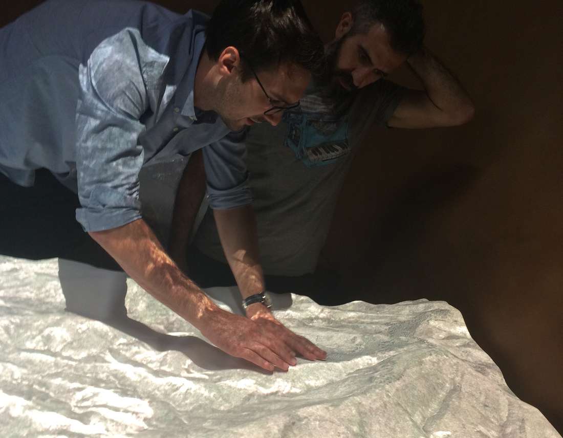
We approached the problem by using a combination of digital 3D animation and 3D fabrication to create a compelling visual installation. The design techniques included a hand-painted look for the maps, and depicting the movements of the soldiers almost like rivulets of water across the landscape.
The sequence was tested extensively in our studio before installation – a delicate combination of physical, digital and technical components working together.
The installations work as a part of Gallipoli: The scale of our war exhibition and have received great feedback. The maps help visitors understand the geography of Gallipoli and the sequence of events over these significant days in our history.

