This iconic multi-platform project, with its striking identity, gorgeous graphics and richly layered, beautifully produced stories is a world-leading example of a heritage trail.
The project began with a research field trip to Gallipoli with New Zealand historian Christopher Pugsley and one of Turkey’s leading experts on the subject, Kenan Çelik.
We spent several weeks walking the site in detail, firming up the view-shafts and key locations on the trail, and recording several accounts of each key site to later work into scripts.
We developed multi-platform interpretation. The storytelling system is made up of:
Installation Pieces
The concept for Ngā Tapuwae is to have micro-installations at key locations along the trail. The models show New Zealand soldiers, in the type of situation that would have been everyday at the locations where the exhibits are installed. For Gallipoli, we created a scene at Quinn’s Post, where the New Zealand soldiers were only a few metres away from the Turks. Working with our consultant, historian Christopher Pugsley, we briefed the model-makers to create an amazingly realistic scene, something that couldn’t be conveyed in any other medium.
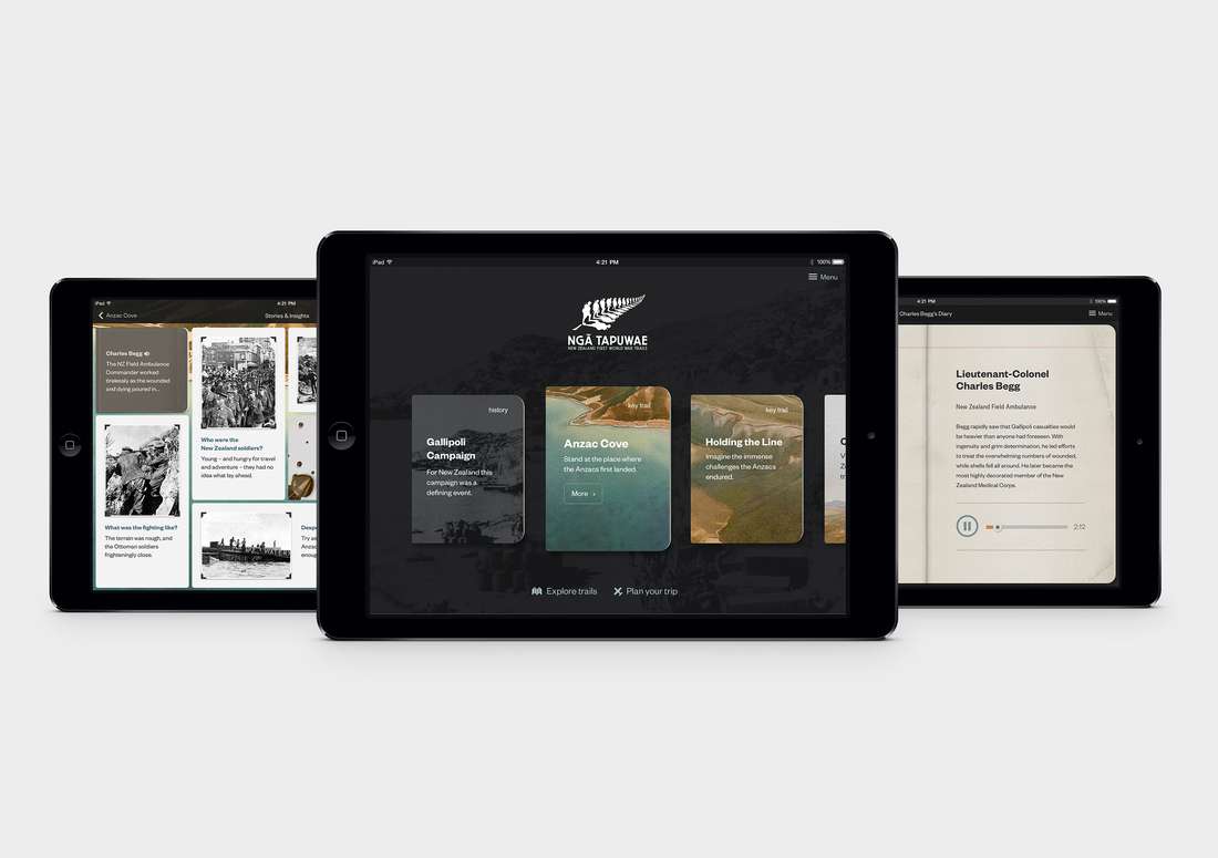
The App
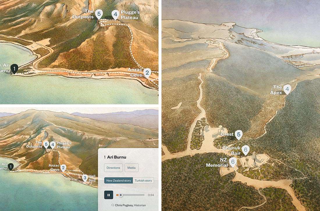
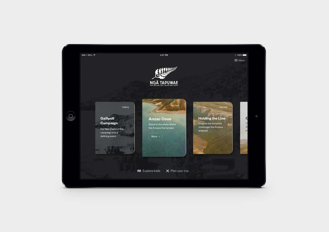
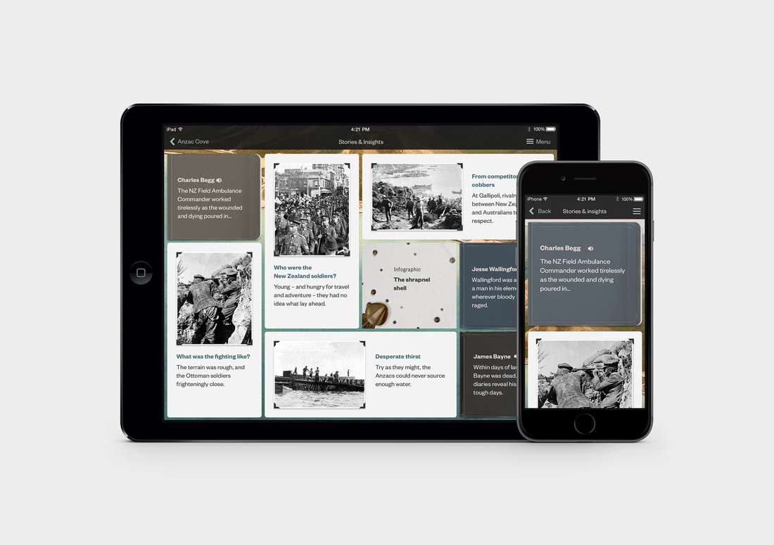
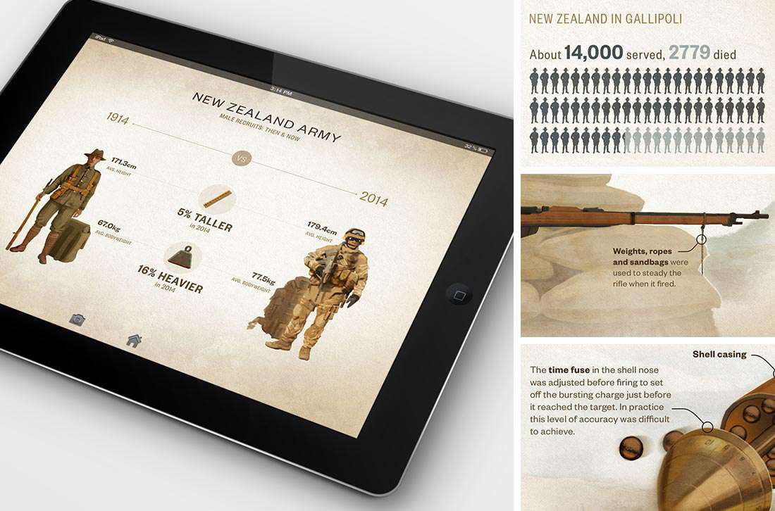
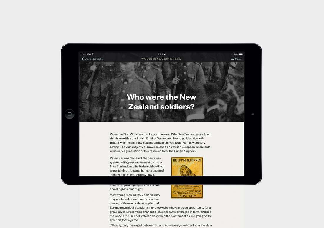
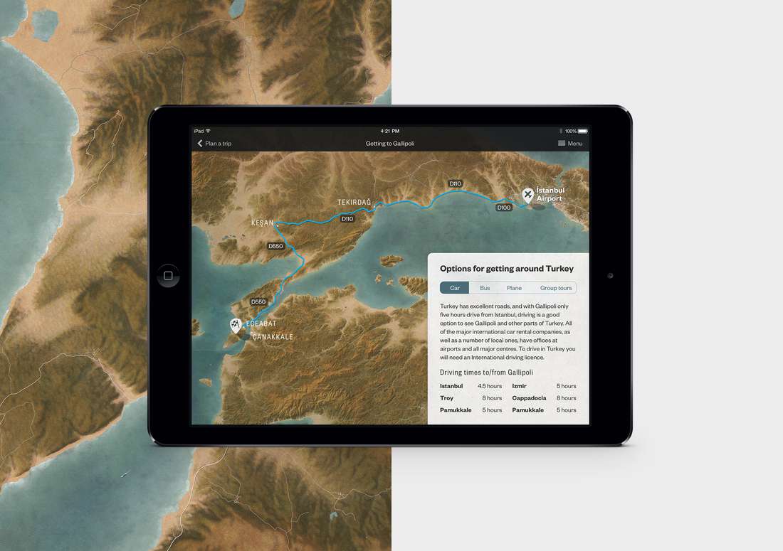
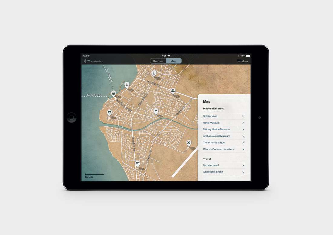
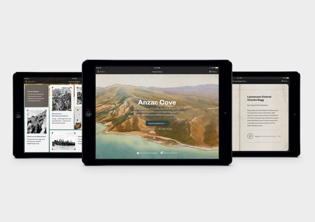
It’s a mobile documentary designed for the traveller. Its aim is to be an all-in-one travel planner, battle-site guide, and reference tool for visitors to Gallipoli. We created tablet and mobile versions for Apple and Android. At its heart is an audio guide for each of the trails – five distinct tours that a visitor can take while on the Gallipoli peninsula. The guide is created in a way that you can either choose an overview of a trail, if you have limited time, or an extensive battle-site tour – for those with time to roam and explore at leisure. The tours are integrated into travel planning tools and suggested itineraries. At each key location perspectives, biographies, stories and image libraries help make the app a real portable documentary piece, providing valuable insights and information that expand the user’s experience and makes for a more memorable trip. We spent a lot of time working on turnkey maps. The maps are hand-crafted from scratch, mixing publicly obtainable data with illustrative and texturing techniques. The results are a unique language for the product that interprets the landscape and assists with way-finding and navigation.
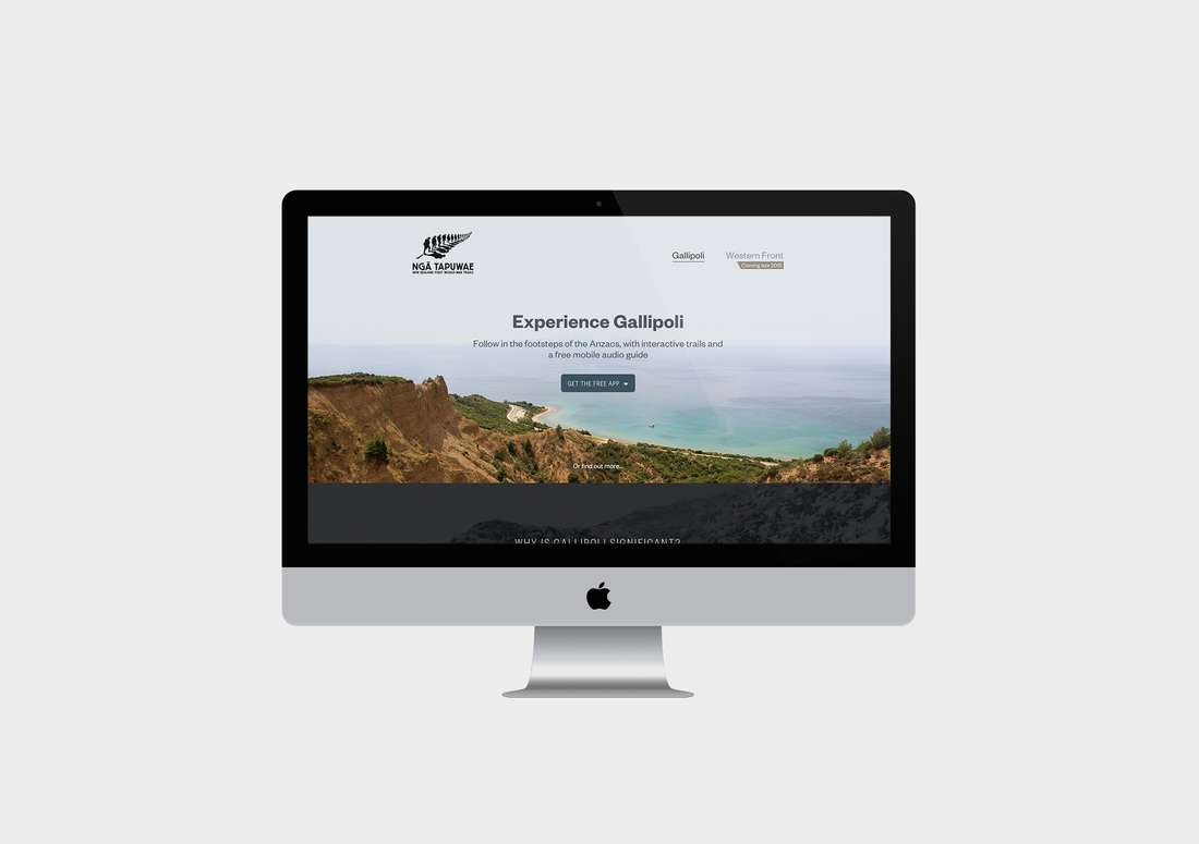
Travel Planning Website
The website is a simple, elegant travel planning tool that helps potential visitors plan their trip. It replicates some of the app content, and provides a sample experience of the audio guides in Gallipoli. This is designed so that if a visitor is onsite in Gallipoli and accesses the website through their mobile, then the responsive site delivers the audio guides at the key overview locations. The website also has a range of accessible, printable guides – text versions of the guided tours that can be easily printed out and taken as a paper guide for those who don’t want to use a tablet or smart-phone on their holiday.
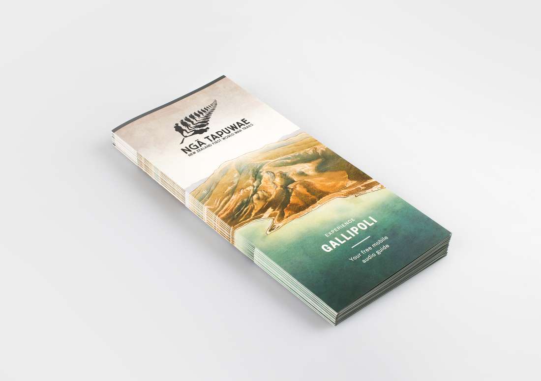
Print Collateral
The final piece of the system is the map brochure. We wanted to create a brochure that also worked as a map to the key sites. We couldn’t create a full driving map, as that would become too complicated – so we developed a fold-out map brochure with the illustrated guide to the battlefield. The colours and design make it a souvenir piece as well as a handy guide.
The Result
The end project is a multi-platform travel guide and visitor experience. We hope – that like all good travel experiences, the visitor creates their own meanings and memories from the journey, using their imagination, family connections and stories to develop their understanding and identity as New Zealanders. For our team, it has been the most challenging, humbling and rewarding project to date, and one that we are ultimately proud of.
